
Prospect Hill
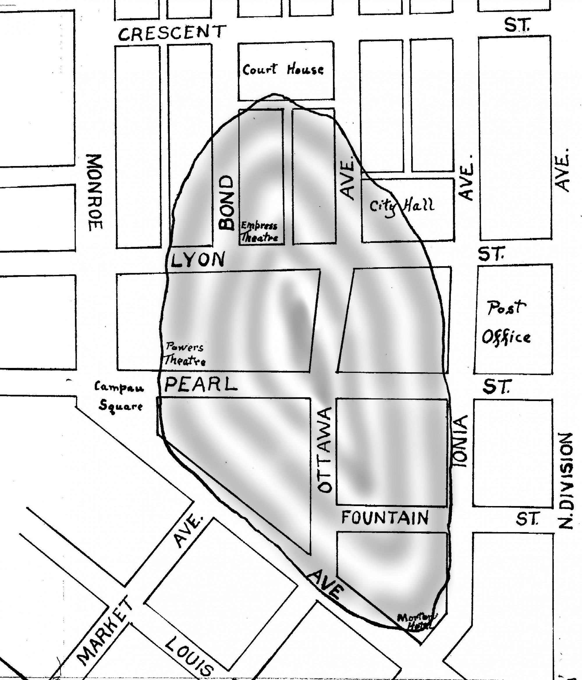
The handdrawn map of a portion of downtown Grand Rapids shows the former location of Prospect Hill, a clay and gravel mound (moraine) left by the glaciers. The hill, which stood approximately 70 feet above the Grand River, was part of the original landscape of Grand Rapids but had disappeared by the 1890s.
Subjects
Full Details
| Title | Prospect Hill |
|---|---|
| Format | Map |
| Notes | The earth that was removed from Prospect Hill over a period of almost forty years was used to fill in the channels between the islands thus connecting them to the mainland on the east bank. |
| Location In Photo | Grand Rapids, MI |
| Collection | Coll. #059, History & Special Collections Dept., Archives, Grand Rapids Public Library |
| Rights | Reproduction and copyright information regarding this image is available from Grand Rapids History & Special Collections, Archives, Grand Rapids Public Library, Grand Rapids, MI |
| Institution | Grand Rapids Public Library |
| Physical Storage Location | Grand Rapids, MI |