
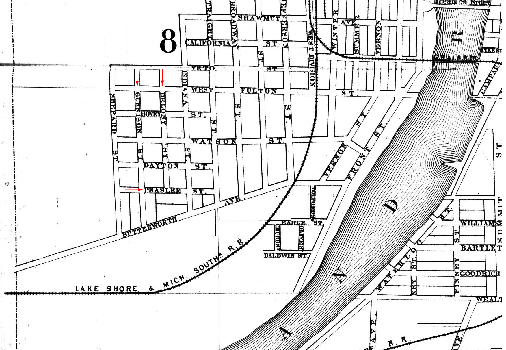
Map of Southwest Grand Rapids
John F. Tinkham, C.E. - 1874
Early Grand Rapids, Michigan map showing Gunnison and Delony Avenues as well as Peaslee Street. The Grand River and a small portion of the city on the east side of the river are shown at the right.
Subjects
Full Details
| Title | Map of Southwest Grand Rapids |
|---|---|
| Creator | John F. Tinkham, C.E. |
| Date | 1874 |
| Format | Map |
| Notes | Title by contributor. �Delong� on the original map was changed to �Delony� using Photoshop for the purpose of illustrating the name correctly. |
| Collection | 1863-66 thru 1874-75, Reel 1 of 3, City Directories, History & Special Collections, Archives, Grand Rapids Public Library, Grand Rapids, MI |
| Rights | Reproduction and copyright information regarding this image is available from Grand Rapids History & Special Collections, Archives, Grand Rapids Public Library, Grand Rapids, MI |
| Institution | Grand Rapids Public Library |