
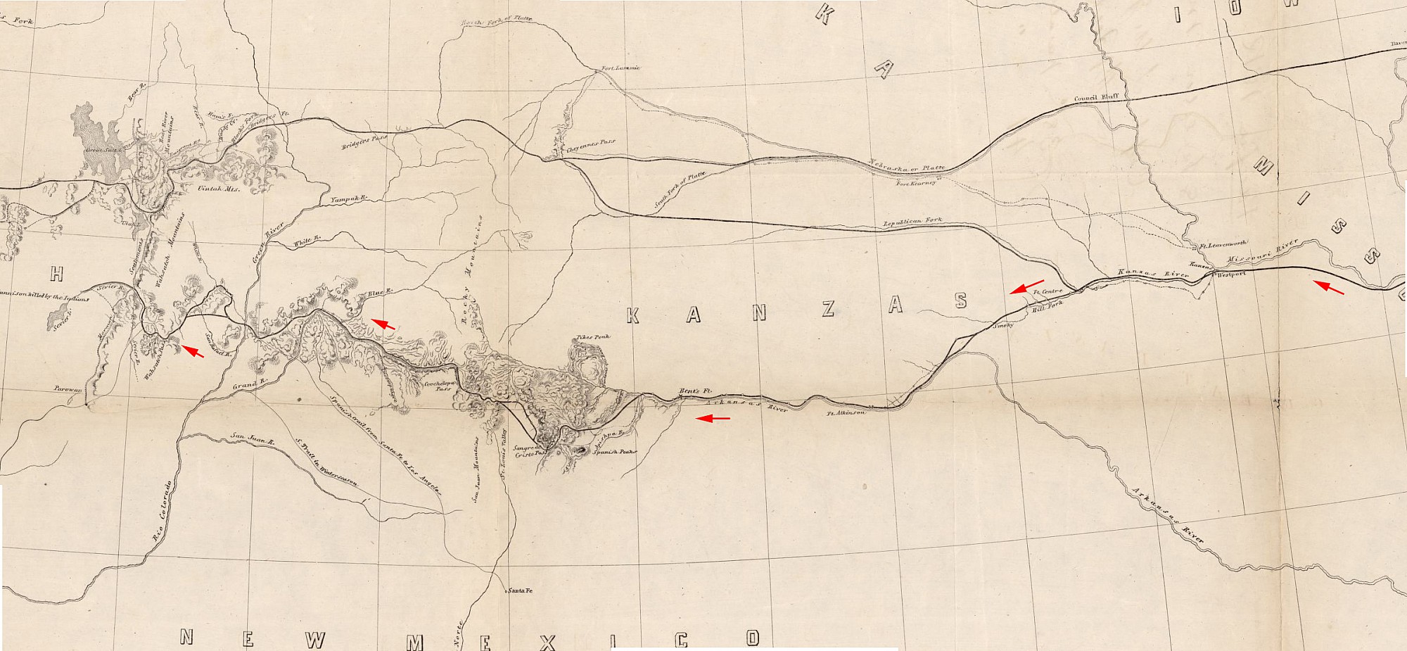
Gunnison's Route West from Fort Leavenworth KS, 1853
F. W. Egloffstein - 1855
Skeleton map exhibiting the route explored by Capt. J. W. Gunnison U.S.A.., 38 parallel of north latitude (1853).
Subjects
Full Details
| Title | Gunnison's Route West from Fort Leavenworth KS, 1853 |
|---|---|
| Creator | F. W. Egloffstein |
| Date | 1855 |
| Format | Map, 63 X 97 cm. |
| Notes | Title by contributor. Gail M Snow, programmer analyst, adjusted and made useful this online map, http://hdl.loc.gov/loc.gmd/g4051p.rr001640. |
| Collection | American Memory; Library of Congress Geography and Map Division Washington, D.C. 20540-4650 USA |