
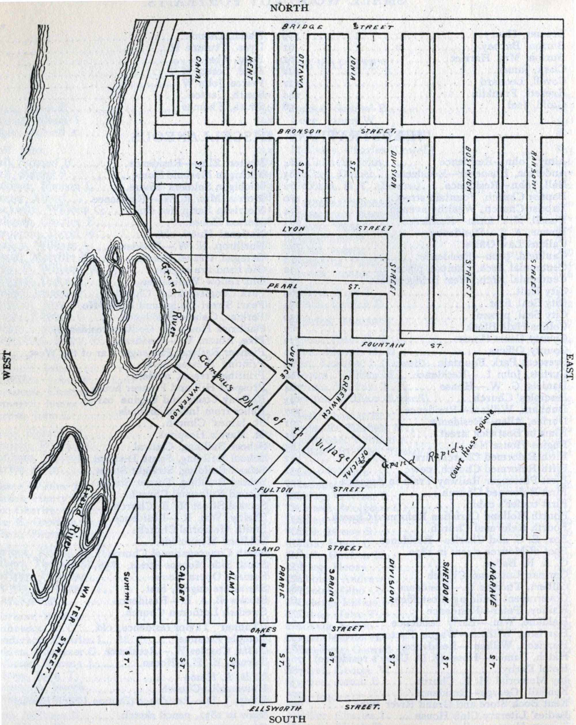
Village of Grand Rapids, 1836
1835
The map depicts the east side of the river, the islands, street names, Court House Square, indication of Campau's property, and particularly the difference in street layout between Campau's land and the the rest of the village.
Subjects
Full Details
| Title | Village of Grand Rapids, 1836 |
|---|---|
| Date | 1835 |
| Format | Map |
| Notes | Title by cataloger. The map, from "The History of the City of Grand Rapids" by Albert Baxter, 1891, was drawn from the original plat map. Some streets no longer exist, and some have had names changes. |