
Grand River Watershed Map
Suzan Campbell - 2008
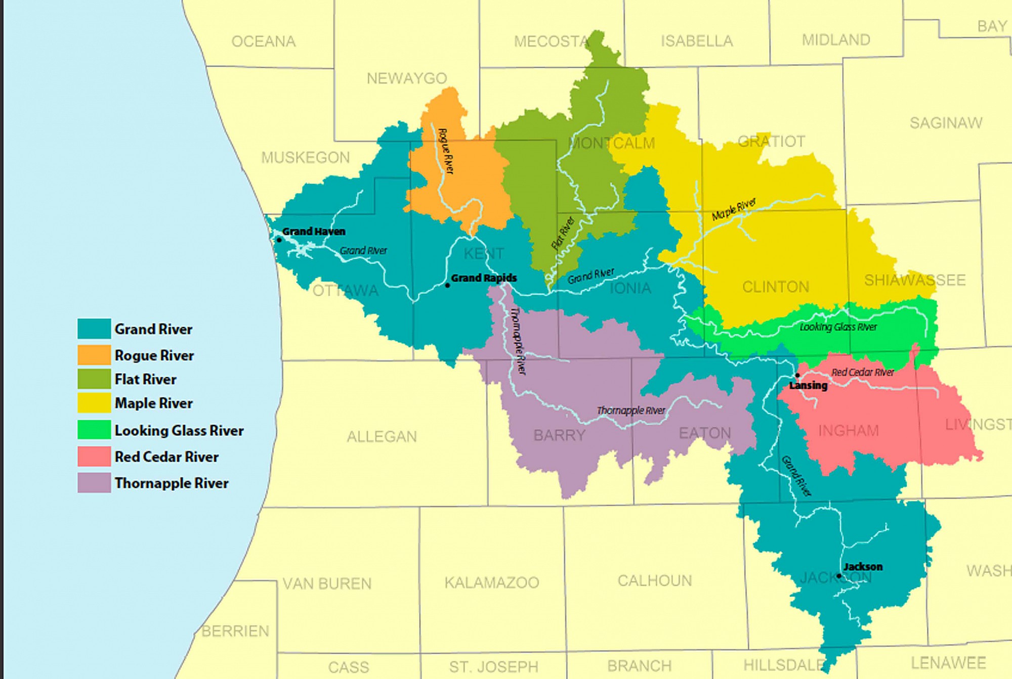
The graphic shows the area of southern Michigan covered by the Grand River Watershed and the watersheds of the other rivers that flow into it: Rogue, Flat, Maple, Looking Glass, Red Cedar, and Thornapple. The Grand River watershed, the longest and largest, is shown in blue; the others in colors indicated in the legend. The background, in light buff, provides the names of the counties encompassed by and surrounding the watershed.
Subjects
Full Details
| Title | Grand River Watershed Map |
|---|---|
| Creator | Suzan Campbell |
| Date | 2008 |
| Format | Graphic |
| Collection | Boundary Data - MDEQ 1998, Hydrology & Counties - Michigan Geographic Framework, v3b, 2003 |
| Institution | Michigan Natural Features Inventory, Lansing, MI |